


Enroute Terminal Area Charts - Canada and North Atlantic (2)
Regular price
$4.00 CAD
Couldn't load pickup availability
Effective March 21, 2024 - May 16, 2024
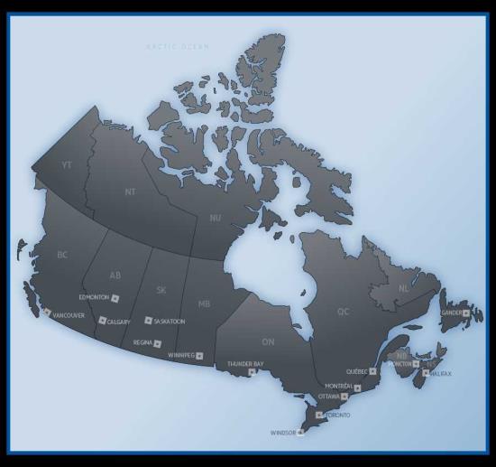
Terminal Area Charts (TAC) depict aeronautical radio navigation information in congested areas at a larger scale. Vertical coverage is from the surface up to, but not including, 18,000' asl.
The charts are printed back to back on one sheet and are revised every 56 days.
Terminal areas covered include:
• Gander
• Windsor
• Edmonton
• Halifax
• Thunder Bay
• Vancouver
• Moncton
• Winnipeg
• Bermuda
• Quebec
• Regina
• Iceland
• Montreal
• Saskatoon
• Keflavik
• Ottawa
• Calgary
• Azores
• Toronto