


Enroute Low Altitude Charts - Canada and North Atlantic (2)
Regular price
$4.00 CAD
Couldn't load pickup availability
Effective February 20, 2025 - April 17, 2025
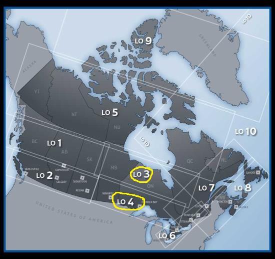
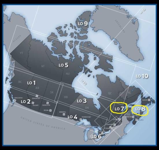
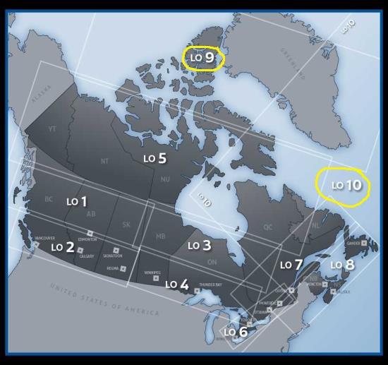
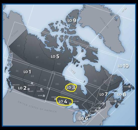
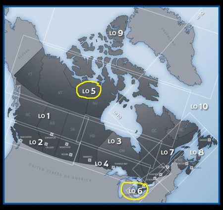
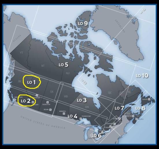
Enroute Low Altitude charts (LO) depict aeronautical radio information, airways system, controlled/uncontrolled airspace structure, special use airspace, communication stations and selected aerodromes. Vertical coverage is from the surface up to, but not including 18,000′ asl. Covers the northern part of Canada (including Greenland and Iceland), northern Quebec and the Atlantic provinces (New Brunswick, Nova Scotia, Prince Edward Island and Newfoundland and Labrador).